The Wellington Region Emergency Management Office (WREMO) was quick to respond to my post on Scoop last week about their apparent lack of planning for a disaster in the Wellington region. It’s a pity they haven’t been so quick about providing useful information to local residents.
Their full response can be found here.
My gripe was with their current social media advertising push:
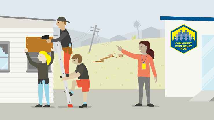
Earlier this month … WREMO … launched a campaign to urge people in the Wellington Region to be more prepared for an emergency by finding their local Community Emergency Hub at GetPrepared.nz/hubs.
The problem is that when I look at my local hub, (Clyde Quay School), the documentation is incomplete. Page 4 is supposed to contain a Facility Map, but all it contains is this message saying, “Clyde Quay School — Under discussion …”. Meanwhile, Page 6 contains instructions for Accessing the Hub:
Locate keys
The location of the lockbox is marked on the Facility Map in this guide.
And that’s it. Game over.
I then discovered that Mt Victoria wasn’t alone in having incomplete documentation. In fact, none of the 37 Wellington hubs I looked at had a Facility Map. None!
Since then I’ve looked a little wider.
The WREMO region is divided into six areas, each of which contains a number of hubs. Here are the numbers:
- Wellington – 37
- Lower Hutt – 35
- Upper Hutt – 16
- Porirua – 10
- Kapiti Coast – 12
- Wairarapa – 17
That’s a total of 127 hubs. In my admittedly incomplete survey of these hubs, I have so far only found seven with a Facility Map. (Take a bow Waikanae (East), Waikanae (West), Upper Hutt Central, Wallaceville, Carterton, Ebdentown and Elderslea.)
And in case you think these hub guides are just a corporate cut-and-paste job, spare a thought for the residents of Whitby and Waitangirua/Ascot. They don’t even get that!

As you can see from the above screenshot, this isn’t a recent phenomena. The incomplete files for Cannons Creek and Titahi Bay are dated January 2017 — they’re two-and-a-half years old!
So, seven out of 127 hubs. Approximately 5.5%. Apparently, WREMO considers this a pass mark, hence the big advertising push.
Seriously, what sort of brain-dead bureaucrat authorises spending of thousands of dollars on a campaign urging people to look at utterly useless information?
To negative comments about their own post on Scoop, WREMO’s Scott Dray said this:
The Hub Guide maps are inserted following consultation with the Hub facility owner. This is a negotiated process which involves confirming the Hub kit storage location, lock box, and areas of the facility that can be used as a Hub. As a result, it can take a little time to finalize the map, but we are aiming to have nearly 100% of all published Hub Guides on our website with maps by the end of June.
“A little time” is something of an understatement. Some of these hub guides date back to 2016, (Newtown, Stokes Valley, Island Bay, Brooklyn), but now, miraculously, they’ll all be sorted in the next four weeks.
Excellent! I’ll be watching and expect to see that “nearly 100%” compliance Dray’s promised.
Just a pity no one thought to check before wasting all that money on advertising.
(I’ll be addressing the other issues in WREMO’s response later in the week. There’s too much to address in a single post, but to give you the general tenor of my findings to date, you might like to consider this term.)

